Reality Capture - 3D scanning and modelling
We help building owners to generate detailed and accurate bases upon which to plan facility management, conversions, supervision, etc.
Over a 3-year period, NIRAS has scanned and modelled more than 300 buildings with a total floor area of more than 500,000m2.
For a single housing company, we have established 3D operating models for 11,000 apartments, a total of approx. 800,000m2, based on existing building drawings with inspection of the individual apartment types based on 3D scanning.
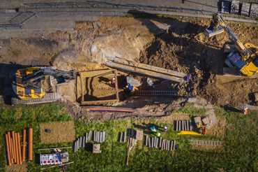
Process plant, utilities and infrastructure
We carry out corresponding 3D scanning and modelling of process plants and for projects within the utilities sector and infrastructure. We often do this in collaboration with colleagues who are specialists in advising in the sector in question.
Image registration
Image registration is performed as an independent service or as an addition to 3D scanning, depending on the purpose. For example, image registration can carried out from a helicopter drone for the inspection of roofs, facades or technical installations that are difficult to access.
The photographs/video etc. can be reviewed manually or can be used together with computer-based image recognition, which can automatically find anomalies e.g. damage to concrete structures.
Drone inspection can be carried out with a heat-sensitive camera, which can be used, among other things, for the inspection of climate screens.
360 degree panoramic images
We deliver 360-degree panoramic images with associated viewer from, among others, Matterport or iSTAR. Both solutions allow you to move virtually around the location.
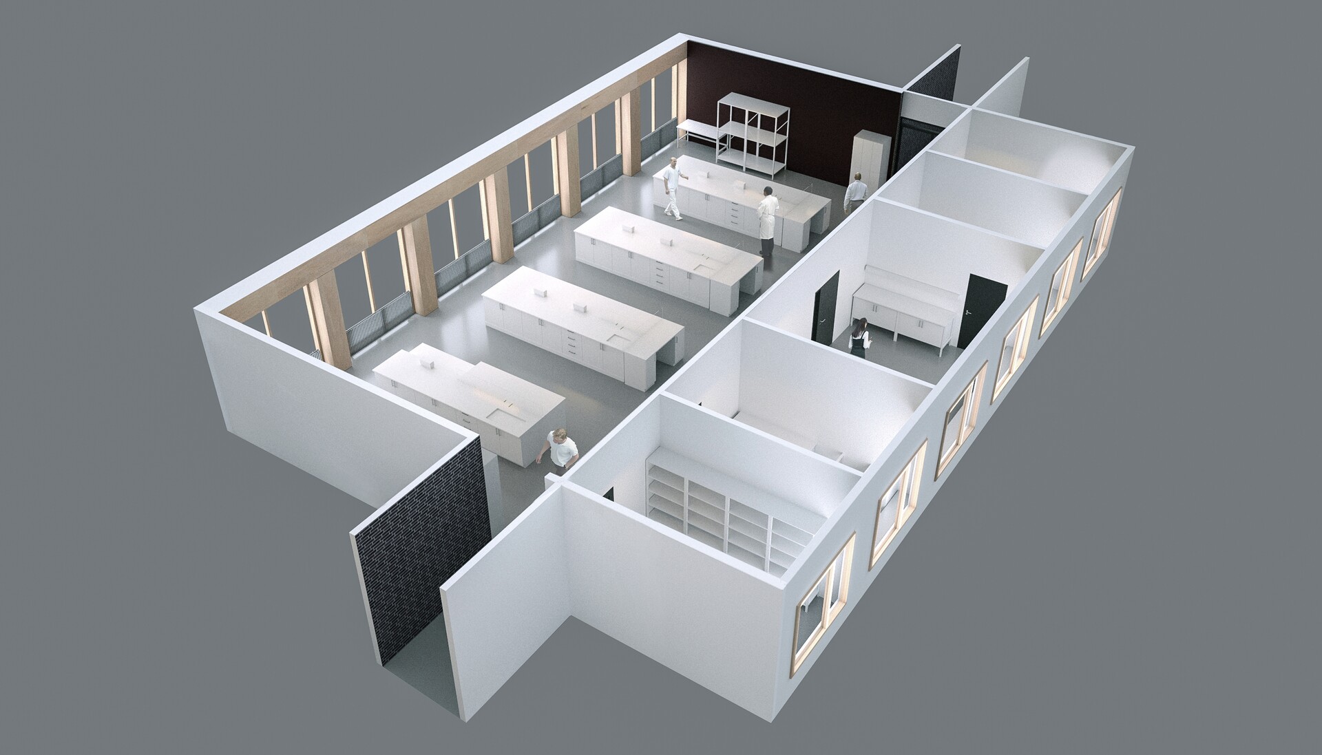
Case: Gladsaxe Municipality
In the period from November 2020 to March 2021, we have carried out 3D scanning and modelling for part of the Gladsaxe municipality property portfolio. The task included 55 municipal buildings (schools, daycare centres, sports facilities, administration buildings, etc.). Through modelling the municipality wants to get an overview of the buildings' use and the distribution of m2 in the various areas of use. The models must also serve as a basis for creating professional models for future construction projects.
NIRAS carried out the 3D scanning with handheld and stationary scanners and subsequent modelling in Revit.
The delivery included:
- Punksky in .e57 format.
- Operating model in IFC 2x3 and RVT
- Floor plans and facade plans in pdf format
- Cadastral plan with situation plan for the entire plot
The floor plans contain Room ID, Room function and net areas.
The municipality has subsequently uploaded data to DaluxFM.
Get in touch