Drones for surveying, mapping, and monitoring
We bring your project to new heights
Unmanned aerial vehicles equipped with various sensors enable measurements that were previously challenging or costly. NIRAS offers advanced solutions within drone surveying and monitoring.
Detailed terrain models with drone surveying
Using drone images, we calculate a point cloud that, after processing, results in a detailed terrain and surface model. This is ideal for precise analyses of landscapes and construction sites.
Drone mapping
Our drone operations range from underground concrete inspections to leak detection in district heating networks. With over 1,862 flights in 2024 across three continents, we deliver accurate data and innovative solutions. Our mapping services cover urban areas and larger infrastructure projects like light rail systems and parking facilities.
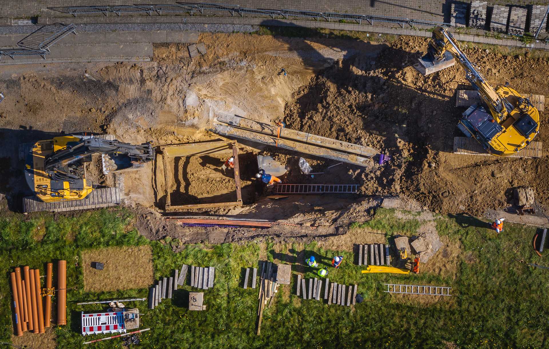
Monitoring construction projects with drones
Ongoing drone photography allows both clients and contractors to monitor progress, determine volumes of terrain adjustments, and ensure compliance with construction boundaries.
3D models and volume calculations
Using drones, we perform 3D modeling and precise volume calculations of raw material piles, waste depots, and similar assets. This provides a clear overview of stock levels and capacity.
Drone inspections and thermal imaging
NIRAS conducts condition assessments of roofs, façades, bridges, and solar installations with high precision. Thermal imaging is used to inspect building envelopes, wastewater discharges, and defective solar panels.
Vegetation analyses and biological surveys
Drone flights are used for analyzing invasive plant species, biomass calculations, and monitoring forest growth. In collaboration with ornithologists, we also map nesting seabirds in coastal areas.
What are the regulations for drone use?
On January 1, 2021, new European regulations for the use of drones came into effect. In the first half of 2021, NIRAS applied for and received an operational license from the Danish Transport Authority for four drone types in the "Specific Category," allowing us to carry out an extended range of tasks for our clients.
In Denmark and internationally
With drone pilots located at several offices in Jutland and Zealand, we ensure quick response times for assignments. We perform drone tasks in Denmark and Greenland and also deploy for assignments globally. Specific projects have been carried out in Sweden, England, the Middle East, and Africa.
Get in touch