Tabelvindue (Table window)
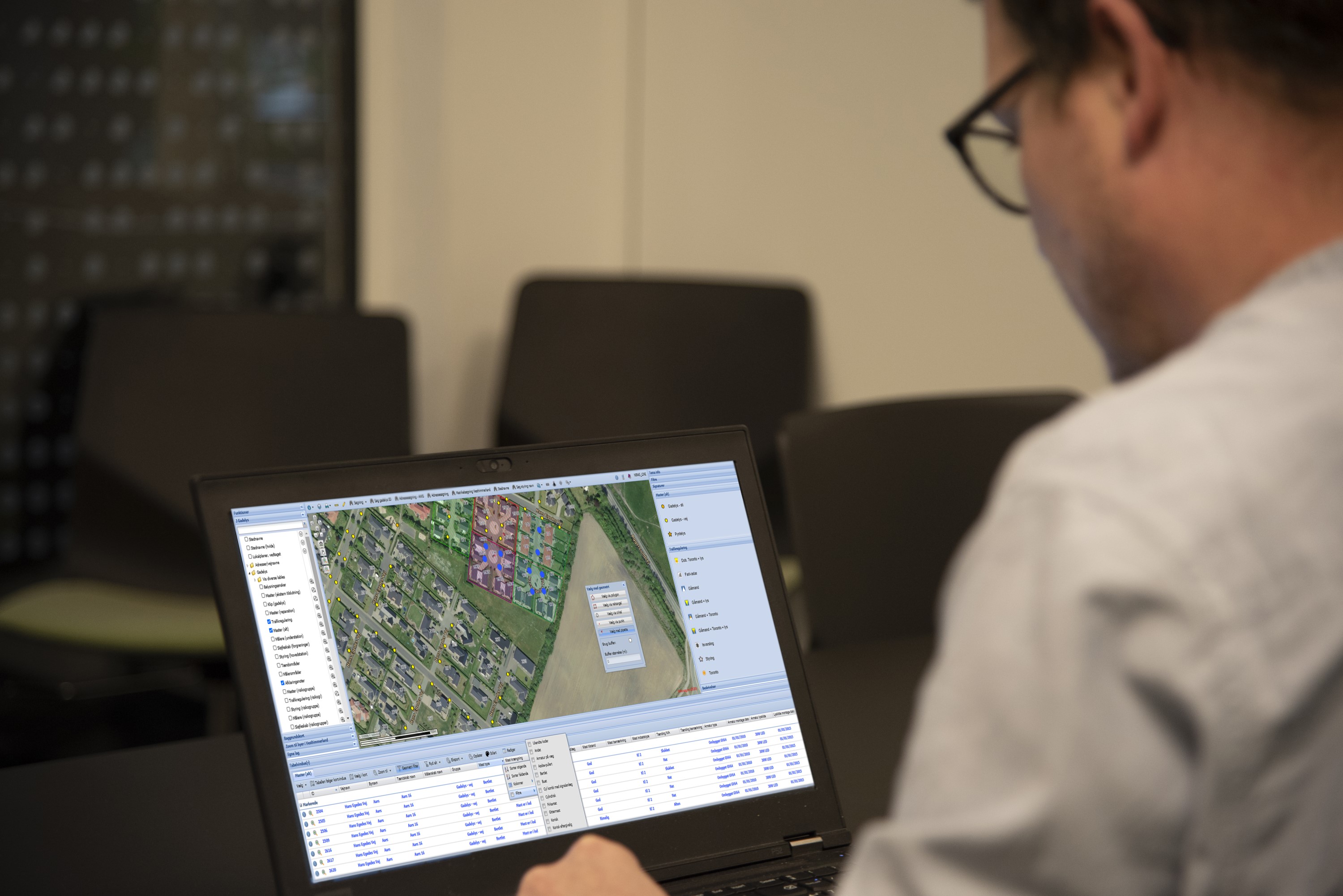
Get an overview of the underlying data of the GIS layers with KortInfo's Tabelvindue.
KortInfo's Tabelvindue allows the user to see the corresponding table of the GIS layers at the same time as the map. This allows the user to access attribute information and filter data based on column values and geometry.
When the user filters data with Tabelvindue, the results are displayed on the map, and objects can be selected and de-selected, filtered and sorted in full interaction with the table. Tabelvindue also has an export function, so that tables or selections can be downloaded in several formats. Tabelvindue also supports editing of data.
Get in touch or get a demo?