Search Dokumenthåndtering (Document management)
Get the opportunity to connect more information in the form of images and documents on your GIS layers with the Dokumenthåndtering module.
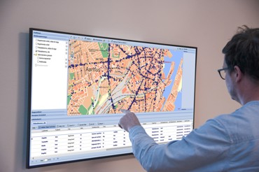
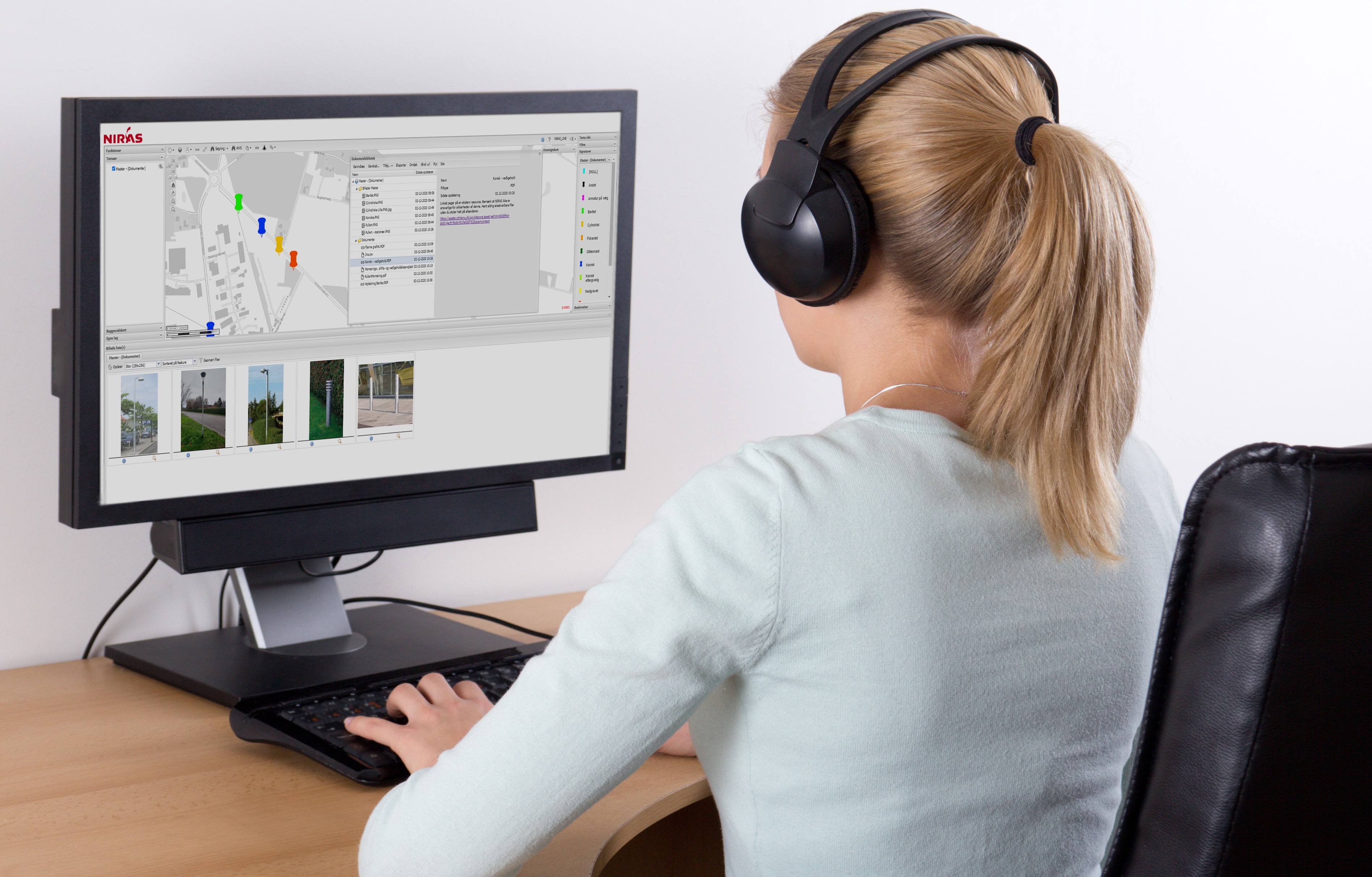
With Dokumenthåndtering in KortInfo, it becomes possible to link images and documents to GIS layers and individual geometries in the map.
It can, for example, be for the citizen-facing map, where images are displayed by clicking on the map - but also as supporting documentation for the map content. Another example could be maintenance instructions for infrastructure or green areas, where a pdf is opened on the screen when an element in the map is clicked.
Dokumenthåndtering supports a wide range of known file formats. The documents can be hosted at NIRAS or linked to an external file server. The documents can be found by simply clicking on the map.
Get in touch or get a demo?