Remote sensing – Satellite-based services
Mapping and analyses
Remote sensing satellites: Satellite-based services
Earth observation data from remote sensing satellites is becoming more and more relevant as a source of information for decision-makers. This is because sensor technology is improving, algorithms/machine learning are being further refined, and, not least, data is far more accessible than before. This includes, among others, Sentinel data from the European Copernicus programme.
NIRAS expertise in remote sensing satellite solutions
NIRAS has built up great expertise and experience in providing solutions from both free and high-resolution commercial satellites. These can be simple solutions with image registration or more complex ones, incorporating image analysis, machine learning, and the inclusion of many other data sources.
Applications of remote sensing satellites
Examples of application areas:
- Topographic mapping (e.g., in developing countries and the Arctic)
- Forest monitoring
- Mapping of floods
- Designation of building changes
- Classification of invasive plant species
- Promotion of financial inclusion
Case study: How remote sensing satellites support financial inclusion
At NIRAS, we attach great importance to the world goals for sustainable development, and the use of remote sensing satellite data can contribute in many ways to monitoring and promoting development.
The most obvious area is climate monitoring, but promoting financial inclusion is also an important part of achieving several of the world's sustainable development goals. Financial inclusion seeks to ensure equal access to financial services, particularly in rural and underserved areas.
NIRAS, in collaboration with Oxford Policy Management and the Mastercard Foundation, developed a decision-support tool targeted at developing countries where there is very little basic data available. By analysing radar and spectral satellite images and combining them with open data on roads, buildings, and health clinics, estimates can be made regarding income, housing types, population density, and more—crucial data for decision-making in financial inclusion.
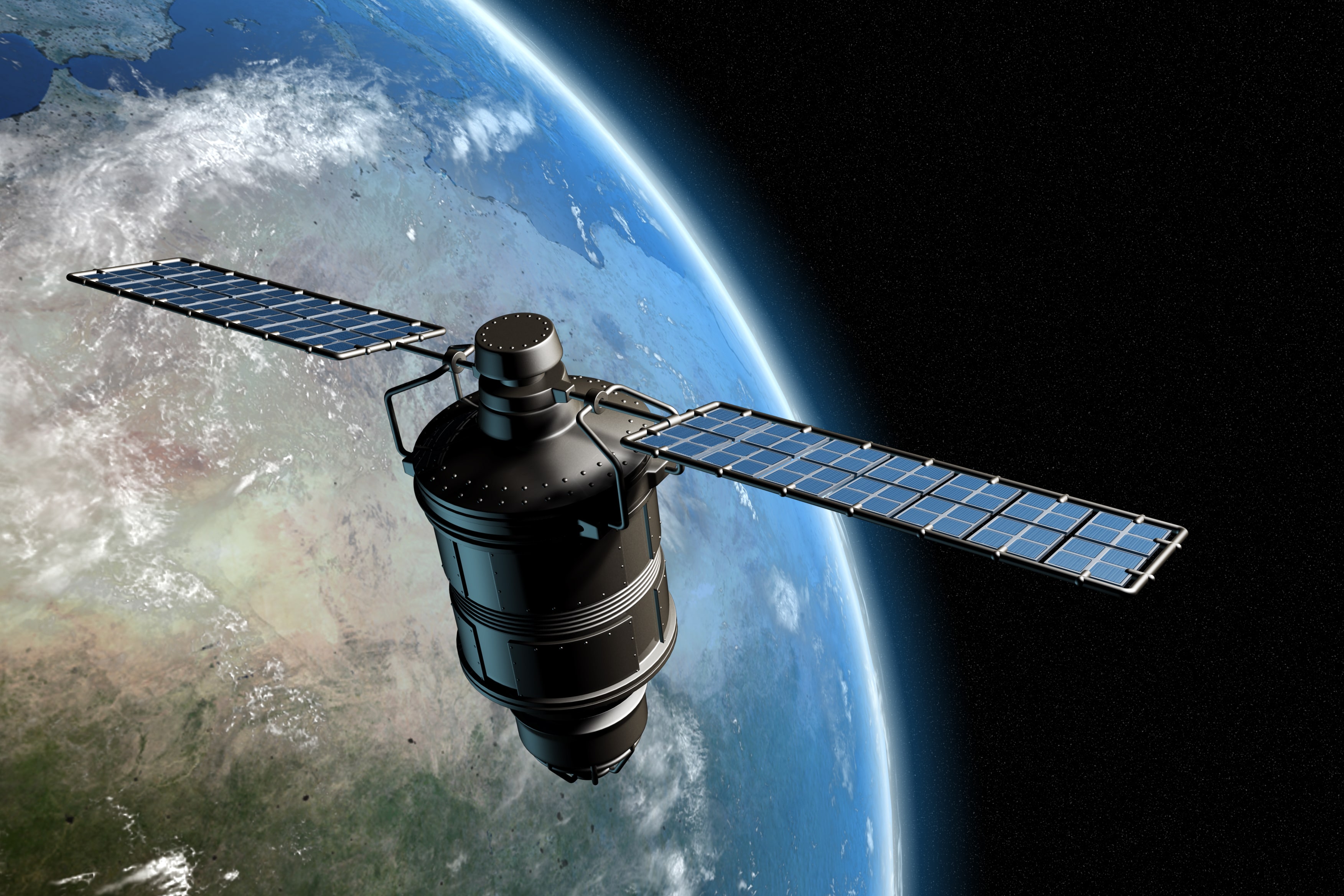
What are remote sensing satellites?
Remote sensing satellites are orbiting devices equipped with sensors that collect data about the Earth’s surface. These satellites can observe various features, such as vegetation, water bodies, and urban landscapes, from a distance. The data they collect is crucial for a wide range of applications, from environmental monitoring and disaster management to resource mapping and urban planning.
Remote sensing satellites utilize different types of sensors to capture data, including optical, radar, and infrared sensors. The data gathered is used to monitor changes on Earth over time, such as deforestation, land-use changes, and climate patterns. These satellites are a key tool for governments, organizations, and researchers to make informed decisions on global issues such as climate change and sustainable development.
By providing timely and accurate data, remote sensing satellites support essential areas such as topographic mapping, forest monitoring, and flood detection, as well as more complex applications like financial inclusion in underserved regions.
Get in touch