Digital measurement, registration, inspection and documentation
With a laser scanner or a remote controlled drone, we can work out a precise three dimensional measuring and registration of e.g. buildings, facades, outside areas, production facilities, interior room behavior, bridges and tunnels. The result of the scan is a virtual 3D model, either as a 3 dimensional dataset with georeferenced and classified points or as a collection of composed pictures.
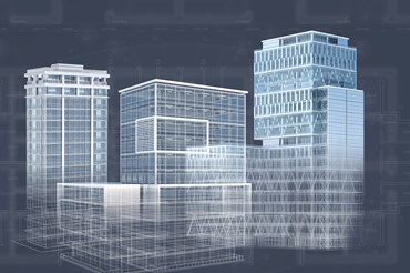
We convert the model of a scanned area into a 3D CAD/BIM model, that you among others can use as the foundation for projection of a renovation/rebuilding or to control operation or facility management.
With a 3D scan of a new building you can generate an exact as-built-model that makes it easy to control and document potential differences between the built project and the projected, when comparing it to the consultants 3D models.
A good visual foundation
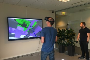
With a picture registration you can document an area or a building’s condition at the time of registration. Contrary to a traditional photo registration, you will always have an overview of where you are with the virtual 3D model, so that it is also easy to find in reality. It is a good visual base for following inspections and analysis, because you can move around virtually in a digital copy of the scanned area.
3D registration can additionally be used together with a computer based picture recognition, which automatically finds e.g. damages in the concrete construction.
Inspections of areas that are hard to get to
Flying drones give you access to areas that would otherwise be hard to get to. This way you can get a precise measurement of a facade, some footage filmed on a regular basis or air photos from the constructions site for e.g. examining the safety conditions and more.
Get in touch